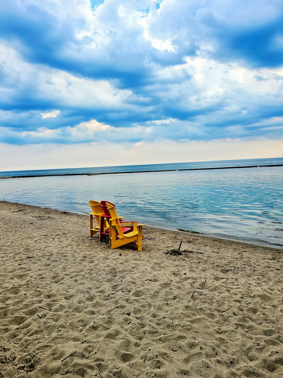
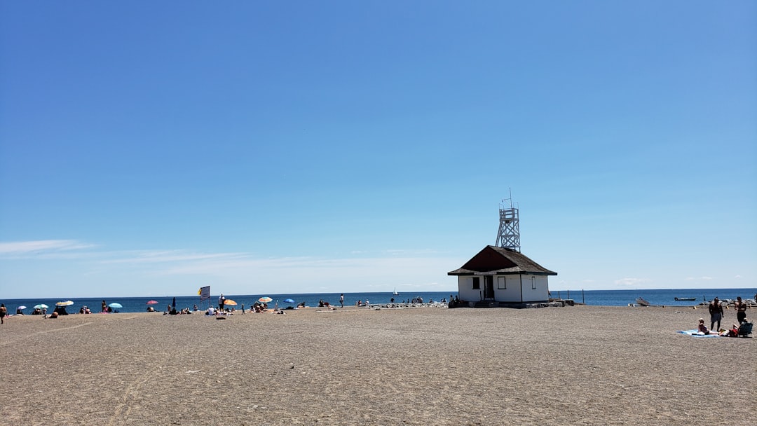
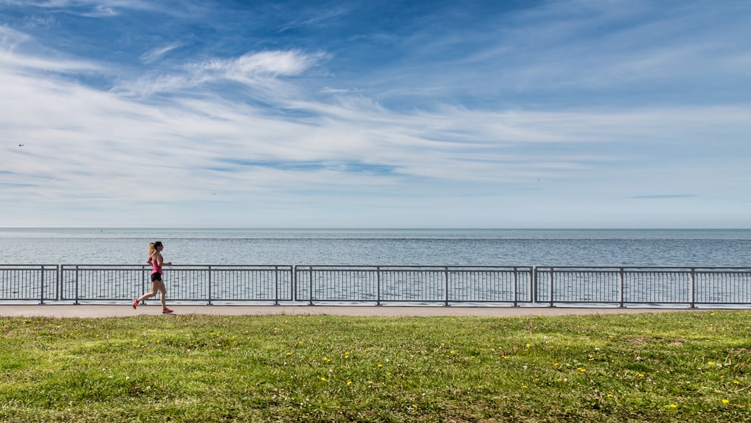
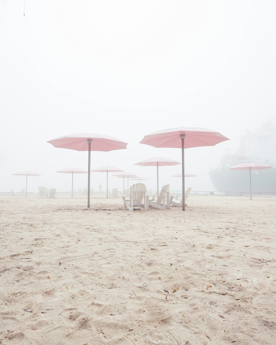
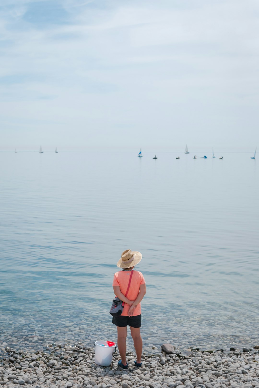
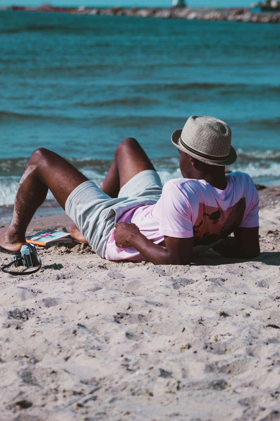
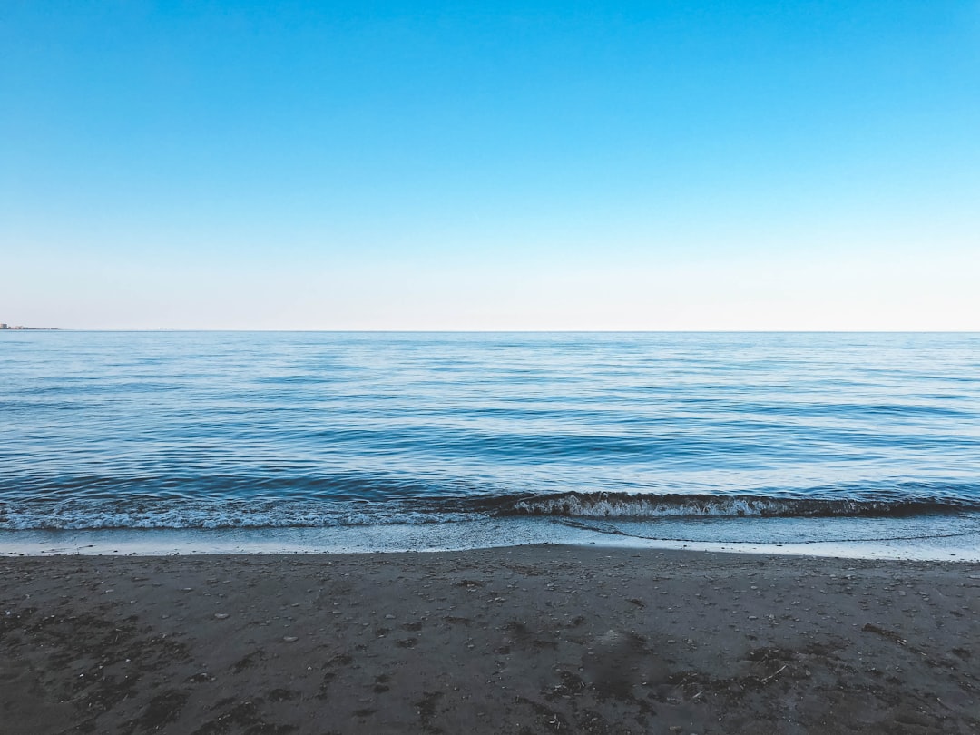
The Best Beach Photo Spots around Old Toronto in Canada
Explore Beach pictures of Old Toronto with the travel spots on a map
Download the Travel Map of Canada on Google Maps here
11 Beach Spots of Old Toronto on a Map
Pictures of Beach on the interacive map of Old Toronto
Download On Google Maps 🗺️📲Beach Spots and Pictures around Old Toronto
Discover popular destinations in Old Toronto with their travel guides
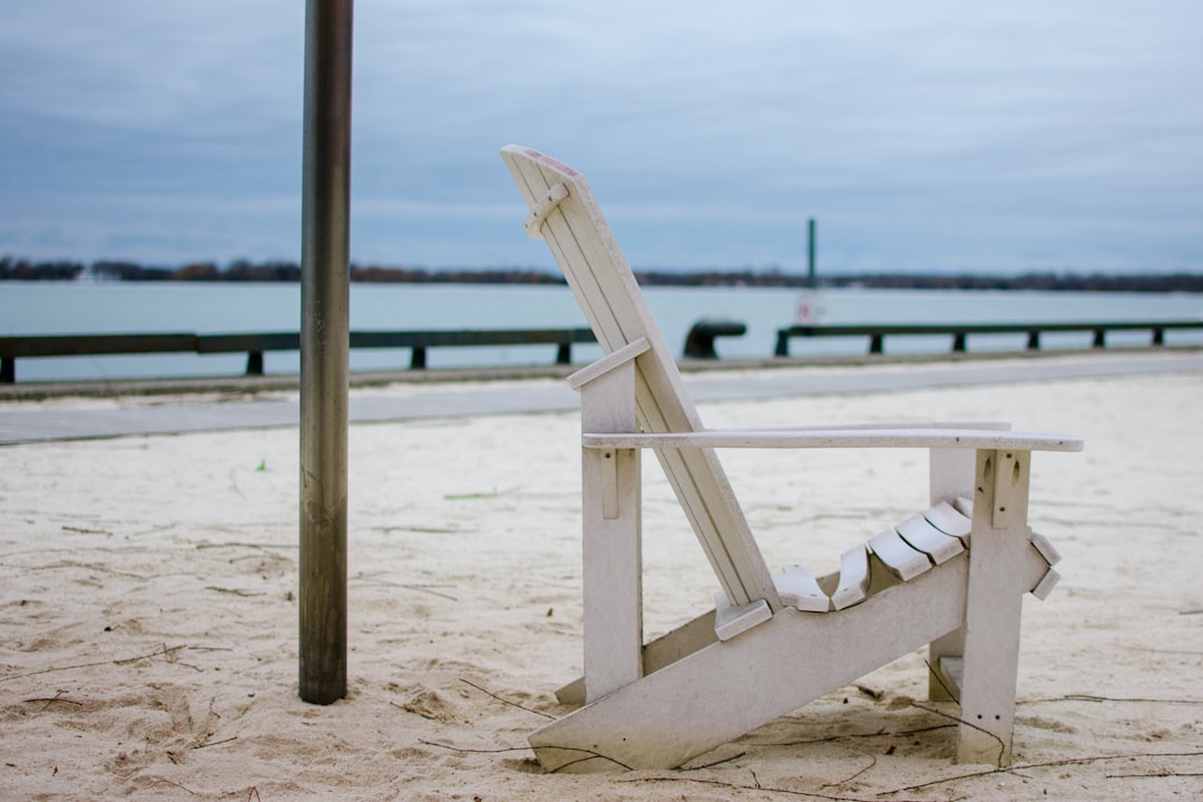
Harbourfront
Read the Travel guide View on Google Maps
Toronto
1 km away from Old Toronto
Read the Travel guide View on Google Maps


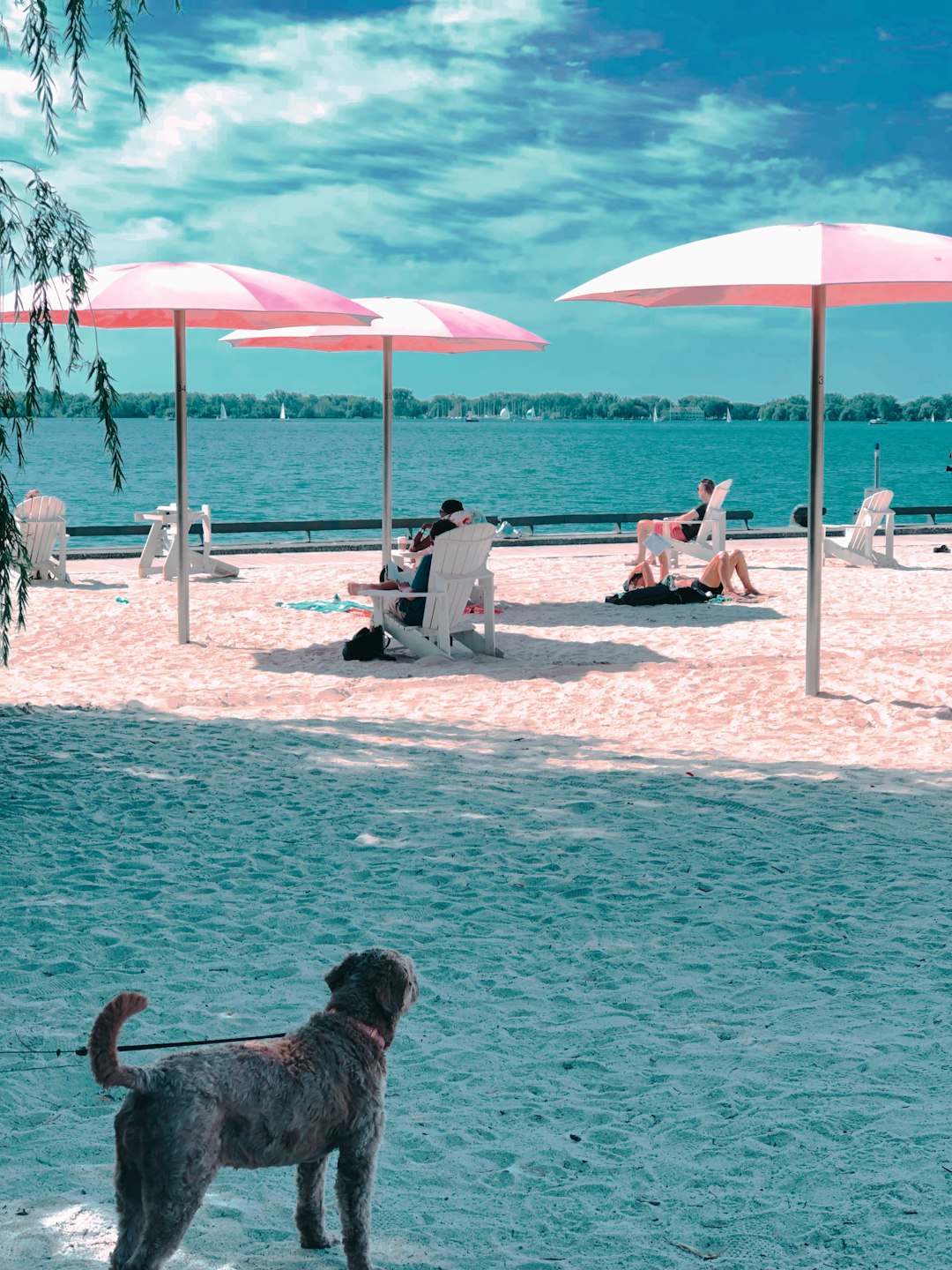
Sugar Beach
1 km away from Old Toronto
Read the Travel guide View on Google Maps
Sugar Beach Park
1 km away from Old Toronto
Read the Travel guide View on Google Maps
Marilyn Bell Park
5 km away from Old Toronto
Read the Travel guide View on Google Maps
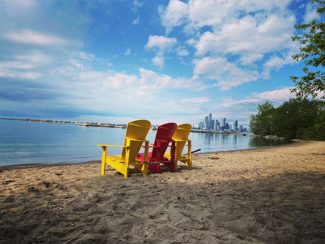
Woodbine Beach
6 km away from Old Toronto
Read the Travel guide View on Google Maps

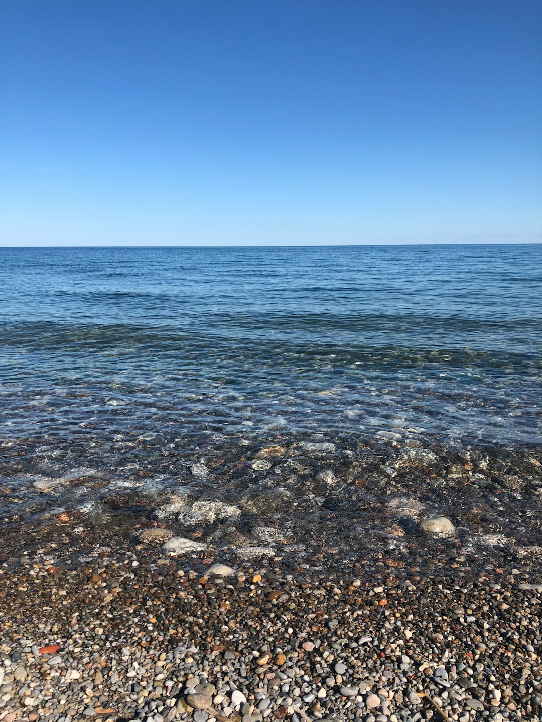
Lake Ontario
12 km away from Old Toronto
Read the Travel guide View on Google Maps
Scarborough
19 km away from Old Toronto
Read the Travel guide View on Google Maps


Oakville
31 km away from Old Toronto
Read the Travel guide View on Google Maps

Lakeside Park
49 km away from Old Toronto
Read the Travel guide View on Google Maps
Burlington
49 km away from Old Toronto
Read the Travel guide View on Google Maps
Book your Travel Experience in Old Toronto
Discover the best tours and activities in Old Toronto and book your travel experience today with our booking partners
Learn More about Old Toronto
Find Hotels in Old Toronto
Discover the best hotels around Old Toronto, Canada and book your stay today with our booking partner booking.com